This trip had two objectives
1. Ride the longest continuous stretch of paved bicycle trails in Michigan i.e. Grand Rapids to Midland.
2. Ride from the end of the Polly Ann Trail in Oakland County to my home in Birmingham.
This 180 mile trip was spread over four days.

Day 1 - Compton Park to Big Rapids - 54 miles
We stayed at the Hilton TRU hotel in Comstock Park. Vitale's provided wonderful Italian food.
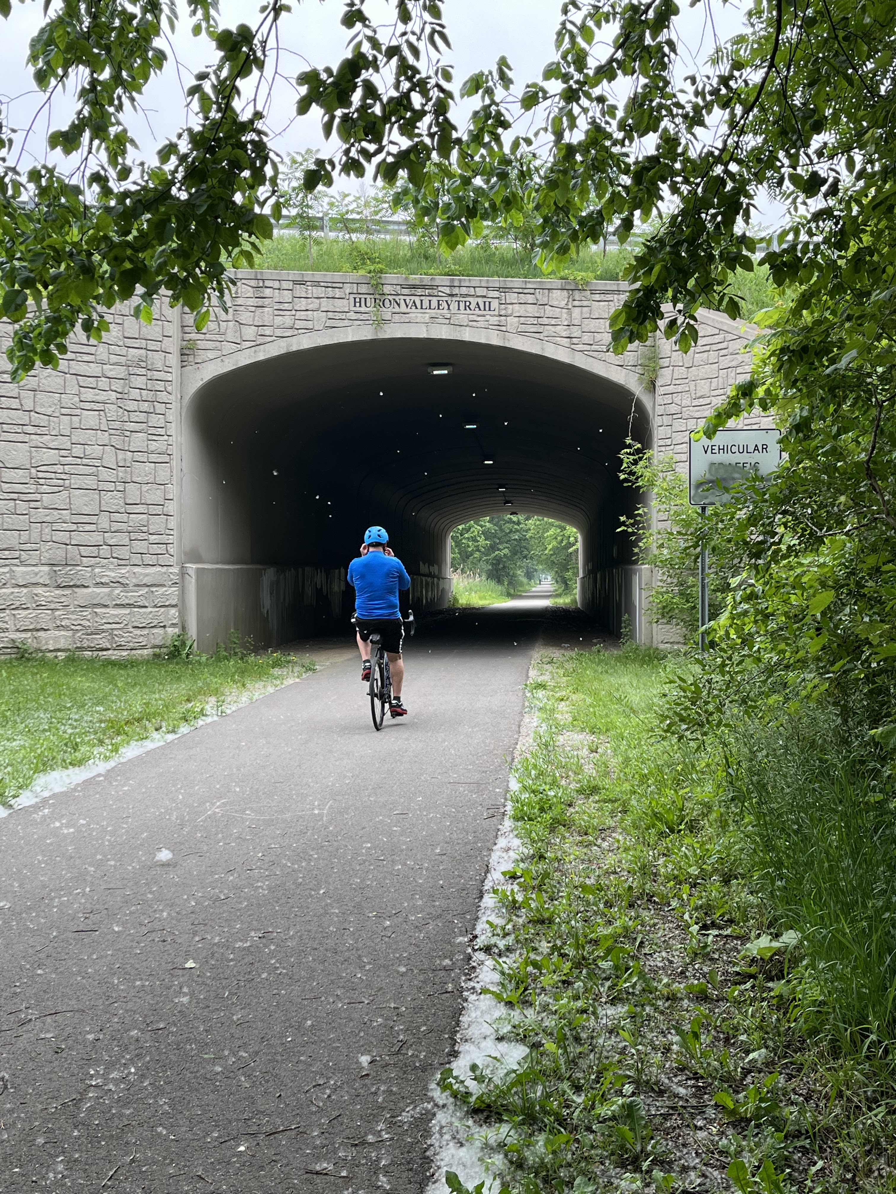
I rode right from the parking lot of the hotel to the White Pine Trail by navigating the busy intersection at River Drive and Ball Park Drive. The trail is shaded and wooded and I lost the urban feeling quickly. There are bridges and tunnels over and under the busy roads, so crossings are just not an issue. At Rockford, the trail goes through a wonderful city park at the dam site. There was a very short detour after the park to get around a pollution cleanup project. The signs were clear.
I stopped for coffee in Sand Lake at the Bernita Mae Cafe. Coffee was fine. Rest room needed attention. I had a nice BLT at the Moe-Z-Inn in Morely. It has outside dining overlooking a small lake. Food and service were excellent. After lunch, I was feeling a bit drowsy and I crossed the highway at Stanwood and took a nap in the community picnic shelter. There are two unpaved, gravel streches between Morely and Big Rapids; one maybe a mile long, the other maybe two miles long.
I saw 2 fields being plowed with horses and one wagon being pulled by horses. All the men were in traditional Amish overalls.
I left the trail at Maple Street and rode into Big Rapids. I took side streets down to the Ferris University campus where I had intended to visit the Jim Crow Museum. My phone said I got close, but I never saw any signage and since it was June, there was almost no one on campus. I headed over to the Super 8 hotel on the Perry Street sidewalk.
Checked in, showered, napped, walked down to Applebee's and had some nice pasta with chicken. Room was clean and the climate controls worked. Breakfast was fine.
Day 2 - Big Rapids to Reed City and Crooked Lake Resort
Rain had been predicted for this day since it came up on the day to day weather forecast. I thought the best possible situation would be if it rained early in the morning. I could just hang around the hotel until it cleared up. This seemed to be working just fine. The rain stopped. Radar on my phone indicated that the front had moved east away from the trail, so I dried off my bike and headed back toward the trail. I thought the trail would be wet so I put a plastic bag on my pack and put on my rain slicker. I got no more than five minutes from the hotel and it began to rain steadily again. I could have sought shelter in a downtown building, but I chose to just keep going. After about 20 minutes, the rain stopped.
 |
| Muskegon River after the rain stopped |
By the time I got up to Reed City, the trail was dry and I was dry as well. I had a wonderful visit with my son at the 7 Slots Grill. They have an amazing array of options on something as simple as eggs with potatoes and toast.
After brunch I basically turned right, that is east, on the Pere Marquette State Trail. This was a great day to be going east. Note the wind in the trees in the photo.
I ducked up to the highway at the end of the Evart airport to get a double cheese burger at McDonalds. It was exactly what I wanted for that time of day, after the big brunch meal.
I bought water and snacks and a breakfast bar at the Citgo just before the Lake (also known as Lake Station), Michigan post office. The resort is only another half mile. 43 Miles.
This year I was in cabin 7, the blue cabin on the top of the hill. It was a bit less rustic than the Lake Front Cabin last year but that was fine. It also had a wonderful deck that looked down to the lake. I again had dinner at the Lakeside Café. I don't recommend the fried perch. Service was good and cordial. On the was back to the cabin, I bought a single banana at the general store. I enjoyed the sunset down by the waterfront on the swing.
Other information on the Reed City to Crooked Lake trail, etc. can be found on my previous trip report. White Pine Trail - Pere Marquette RailTrail
Day 3 - Crooked Lake Resort to Midland
I had only the banana and the breakfast bar at the resort, but had french toast at the Nest in Farwell.
Soon after Farwell the Pere Marquette State Trail ends and on the last trip I rode on the highway for a few miles into Clare. This year I noticed the Route 20 Bicycle Route signs encouraging me to turn south before the trail stopped. I turned onto Beaver Road which curves around to the east and becomes Maple. This is the "back way" into Clare. There was almost no traffic and where vehicles passed, they gave me plenty of room. Maple comes out on the highway quite close to the center of Clare and where the highway traffic has slowed for town. Once again I did not find any signage suggesting I turn on Pine to get to the trail again.
I took a longish rest next to the nice rest room in Coleman. Along the trail, I saw a lush garden full of women and girls in traditional Amish dresses harvesting vegetables.
I wanted to postpone lunch as long as possible and I passed up the Red Oak in Sanford intending to stop at the Cozy Kitty Cafe. It does not back up to the trail, so I had to cut through some parking lots to get to the highway. It is in a nice shaded spot and had an illuminated OPEN sign. Upon entering the building I felt that this was not a typical cafe. There was a room with tables and chairs but the only person who was there was a small boy who was watching television. He cried, "MOM" loudly. In a few minutes a woman joined us. I asked, "Is this a place where people can buy food." She said, "Let me tell you about this place." The half of the building from which she had come, housed 25 rescue cats, 20 of which were adoptable. The half of the building that we were in had handicrafts from local crafters and artists. She said that she had applied for licenses to serve food to humans but that they had not been received at this point. So for now, the Cozy Kitty Cafe is serving only kitties.
I thought I had passed my last opportunity for a meal, but I was wrong. Just 3 miles from the end of the trail I discovered the Midland Brewing Company, and had the best Cobb Salad I have ever eaten!
Stan picked me up and took me to his home out in the "thumb". 44 Miles.
Day 4 - Leonard - Home
Stan gave me a nice full breakfast and dropped me off at 5455 Bordman where the Polly Ann Trail crosses. At the north end of the trail I saw only wild life; several deer and a family of Swans near the Swan crossing sign on the trail.
When I got to the gravel pit area near Oxford there was a huge crowd crossing the trail to reach the Tough Mudder races. I stopped in Oxford at Cafe Roasters right on the trail, at the bridge. I had a cup of tea and got a cookie for later.
At about mile 3 on the Polly Ann Trail I turned left at the well marked intersection, and took the connector trail to the Paint Creek trail. The connector runs right next to the busy Clarkston Road. One is constantly crossing drive ways and side streets. I'm glad the connector has been completed but this half is not very pleasant. The connector crosses Lapeer Highway, Rte 24 at a very busy intersection. I first had to cross from the north side of Clarkston Road to the south side. I did so with the pedestrian light with no problem. I started to cross Rte 24 with the pedestrian light. There were several people turning right to go south on Rte 24. I thought I had eye contact with them and they seemed to be waiting for me. Somehow it seemed like a third lane as turning south and I found myself in front of a third car. Fortunately the car paused and I safely crossed. All I can say is "Be Careful." Once the connector crosses Rte 24 Clarkston Road becomes a quiet dirt road and is quite pleasant. The connector finishes off over a very long, very high bridge. I suspect it was costly and I appreciate it.
I turned right and headed south towards Rochester on the Paint Creek Trail. It was Saturday morning and the trail was very busy, with walkers(many with dogs), runners and bikers. I took a long break and ate my cookie at the creek overlook at Dutton Road.
The Paint Creek Trail ends as it intersects the Clinton River Trail which goes west all the way to Pontiac. At this point one can also go east, connecting to the Macomb Orchard Trail which goes 24 miles, all the way to Richmond. I headed west a mere 4 miles. I took my final break in a shaded grassy spot near the rest room and parking lot on Adams Road. Within a mile I then turned south on a dirt path, and onto the gravel roads and paved roads through Auburn Hills and Troy and down into Birmingham. 39 Miles.